



Lead time is bought
years before the water arrives
Capacitive level sensing and optical precipitation measurement with low-power telemetry, installed at the right points long before the event and still reporting when it happens.
The network is judged on days it is rarely used
A flood warning network spends almost all of its life producing data nobody reads, and it is judged entirely on the handful of occasions when somebody does. Everything about its specification should follow from that.
What fails is predictable. A tipping bucket blocks or cannot keep up with the intensity that produced the event. A level sensor with a float finds the debris the flood is carrying. A site with a marginal power budget goes quiet in the week the batteries were already low.
None of those failures are visible in advance, because the network looks fine while nothing is happening. The failure and the event arrive together, which is the worst possible coincidence for a warning system.
One rainfall record can feed a forecast, a flood warning and a planning decision
Public bodies measure the weather, the water and the air, the infrastructure that manages them and the conditions people live and work in. The table maps what the sector measures against who relies on it and the Gill capability behind each measurement.
A public measurement network rarely serves one purpose. A river gauge supports flood warning, abstraction licensing and drought reporting. A coastal station serves the forecast, the port and the surge warning. A wind sensor on a bridge informs the highways authority every day and the emergency services on the worst one.
That is why the specification has to work for the whole life of the record: power at sites without mains, instruments that keep reporting the same way for years, outputs that reach existing loggers, and calibration that stands up when the reading is examined.
Where independent verification is required, Labcal provides UKAS-accredited calibration for equipment from multiple manufacturers across six measurement parameters, so an estate assembled across agencies, grants and programmes stays on one traceable schedule.
The sites that matter have no mains
River gauges, coastal stations and remote monitoring points are exactly the places without power or a regular visit, so draw and maintenance interval decide what can be installed.
MetConnect draws under 70 mA at 12 V DC
One record, many users
The same rainfall or river level series can feed a forecast, a flood model and a licence decision, so it has to stay consistent across instrument changes and decades of operation.
TruMet PW100 outputs one pulse per 0.1 mm
The quiet years are the risk
Most public monitoring sits unattended between visits, and some of it exists for events that happen once a decade. That is when a mechanical sensor silts, seizes or drifts.
No moving parts to seize or replace
It gets examined afterwards
Inquiries and reviews ask what was measured, when, and how it was verified. That is answered by a calibration record, or it is not answered.
UKAS-accredited, ISO/IEC 17025:2017
Every public decision starts at a measurement point
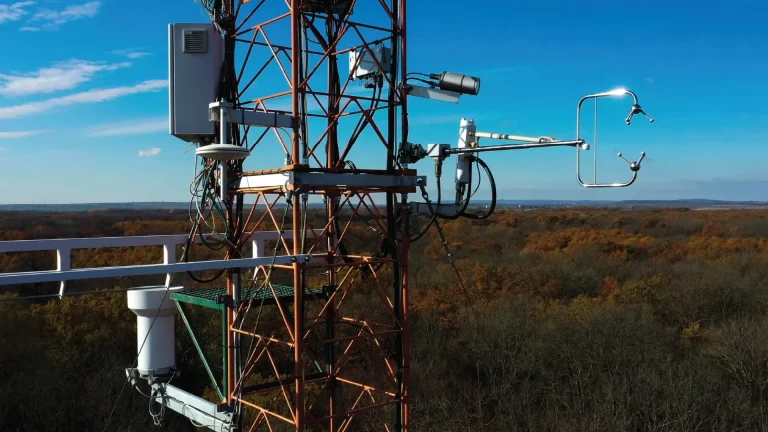
Three views of the work public bodies do with measurement: observe and forecast, manage and regulate, warn and respond. From rainfall and rivers to bridges, flood infrastructure and the incident itself.
Observing station wind
A national network reports wind at the same height, the same way, for decades, and every change of instrument is a potential step in the record.
- WindObserver 75 heated, 316 stainless, IP66, no moving parts
- MetConnect One separable sensors, each sited at its own height
- WindSonic 75 0 to 75 m/s, 0.5 kg, low mast loading
Temperature, humidity and pressure
Air temperature, humidity and pressure underpin every forecast, frost warning and climate statistic, and they have to be measured at screen height, clear of the mast.
- MetConnect THP temperature 0.2 degrees C, humidity 1.5 percent RH, pressure accuracy 0.5 hPa
- MetConnect One Pt100 to IEC 60751 input for a reference thermometer
- MaxiMet GMX300 temperature, humidity and pressure, no wind
Rainfall intensity
Rainfall is the input to the flood model, the drought statistic and the drainage design, so a gauge that can block with debris puts the record at risk when it matters most.
- TruMet PW100 optical, 0 to 200 mm/hr, one pulse per 0.1 mm into an existing logger
- MetConnect One contact closure input for rainfall alongside the weather
- MaxiMet GMX603 integrated optical rainfall alongside the weather
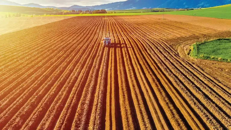
Agricultural field stations
Frost, spraying and irrigation decisions are made field by field, on conditions that can differ sharply from the nearest regional station.
- MaxiMet GMX551 wind, T, H, P, solar and rainfall in one housing
- MaxiMet GMX501 adds solar radiation to wind, T, H and P
- MetConnect One analogue and Pt100 inputs for third-party instruments
Remote power and resilience
Most public monitoring sites have no mains, so solar, battery and a power budget decide what can be installed and whether it keeps reporting.
- MetConnect THP 5 to 30 V DC, less than 70 mA at 12 V DC
- MaxiMet GMX200 0.5 kg, single supply, minimal draw
- MaxiMet GMX301 solar radiation for a PV-powered site
Gauging station and telemetry
A gauging station is judged on the events it captured, not the years it sat quietly, and it has to report from somewhere with no mains and no visitor.
- MetConnect One SDI-12 v1.3 into an existing hydrometric logger
- MetConnect THP 5 to 30 V DC, under 70 mA at 12 V DC
- MaxiMet GMX400 temperature, humidity, pressure and rainfall
River level and flood warning
Flood warning lead time depends on level measurement that is already installed and already working. Capacitive level sensing has been used in exploratory river and flood installations, so talk to us about whether it suits your site.
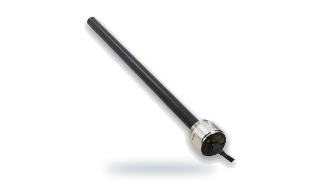
- LevelPro capacitive level, no moving parts to silt up
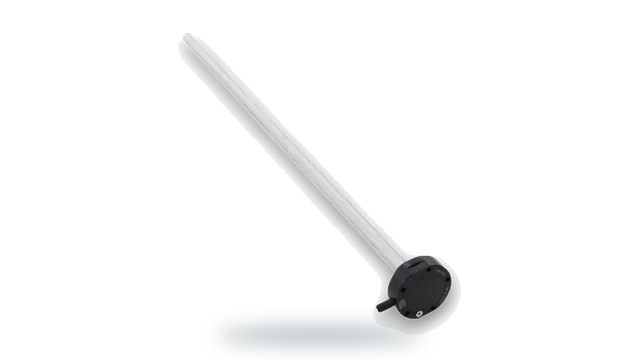
- LevelSlick FEP coated for silty and debris-laden water
- TruMet PW100 rainfall intensity to 0 to 200 mm/hr alongside level
Coastal surge and tidal flooding
Surge combines tide, pressure and wind, so a coastal warning needs all three measured locally rather than two of them inferred.
- WindObserver 75 316 stainless, IP66, Lloyd’s Register Type Approved
- MetConnect THP pressure 300 to 1100 hPa, accuracy 0.5 hPa
- LevelPro water level with no moving parts in salt water
Bridge and exposed road wind
Bridge closures, speed restrictions and high-sided vehicle bans are set on wind measured at the structure, and the decision is questioned the moment traffic stops.
- WindObserver 75 heated, 316 stainless, IP66, no moving parts
- WindObserver 90 0 to 90 m/s for exposed estuary crossings
- WindUltra compact 2-axis, IP69k, for deck-level positions
Air quality and pollution monitoring
A pollution reading only tells a regulator where it came from when wind speed and direction are measured at the same site and the same time.
- WindSonic 60 0 to 60 m/s, economical across a network of sites
- MaxiMet GMX500 wind, temperature, humidity and pressure in one unit
- WindMaster Pro 3-axis to 32 Hz where dispersion and stability matter
Cold weather and winter planning
Gritting, warm spaces and cold weather alerts are all triggered on measured temperature, and they are all funded on the assumption the trigger is right.
- MetConnect THP Pt100 input for a surface temperature probe
- MaxiMet GMX400 temperature, humidity, pressure and rainfall
- WindSonic M heated, operating to -40 degrees C
Civic buildings and public estate
Public buildings become rest centres and reception centres, and their heating, ventilation and drainage are all somebody in an office deciding without data.
- MetConnect THP temperature 0.2 degrees C, humidity 1.5 percent RH
- MaxiMet GMX551 rooftop station with wind, T, H, P, solar and rainfall
- MaxiMet GMX300 temperature, humidity and pressure only
Heat alerts and public health
Heat health alerts and worker safety both rest on the same measurement, and a shaded enclosure reading is not what people are exposed to.
- MaxiMet GMX552 WBGT heat stress with wind, T, H and P, 1.29 kg, IP66
- MaxiMet GMX551 wind, T, H, P, solar and rainfall in one housing
- MetConnect THP reference temperature and humidity
Flood barriers and defences
A demountable defence has to be deployed before the peak, which means the decision is made on a measurement rather than on a look at the river.
- LevelPro continuous level upstream of the defence
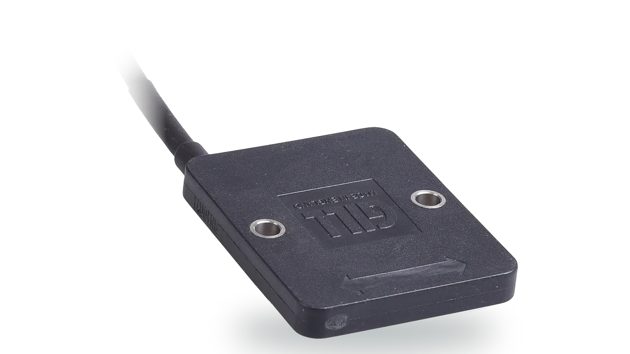
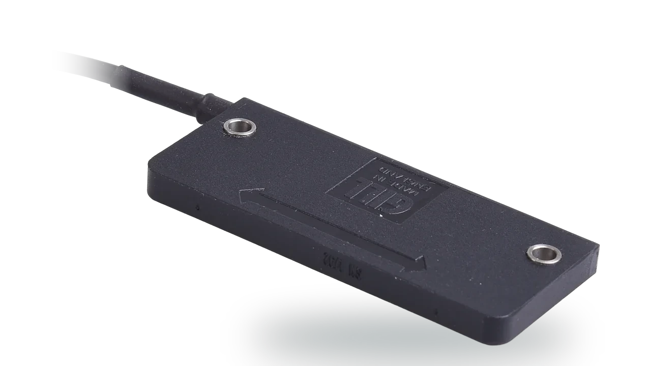
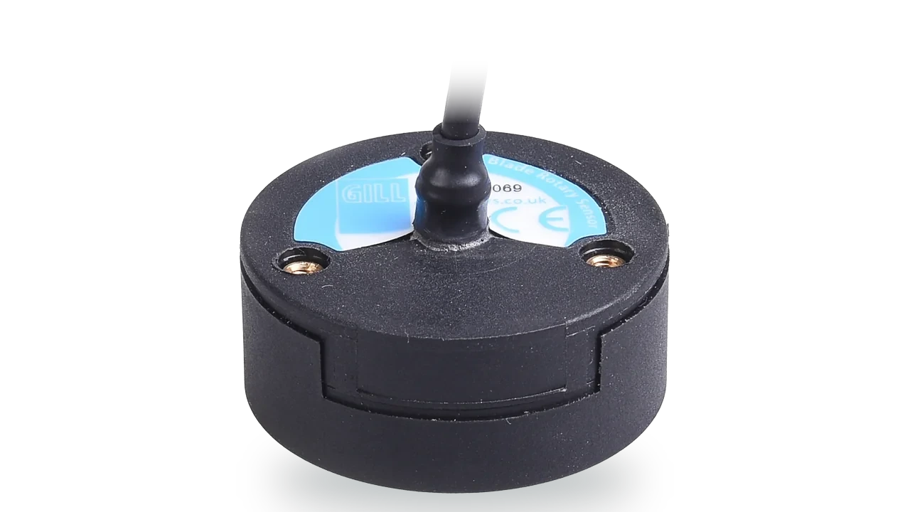
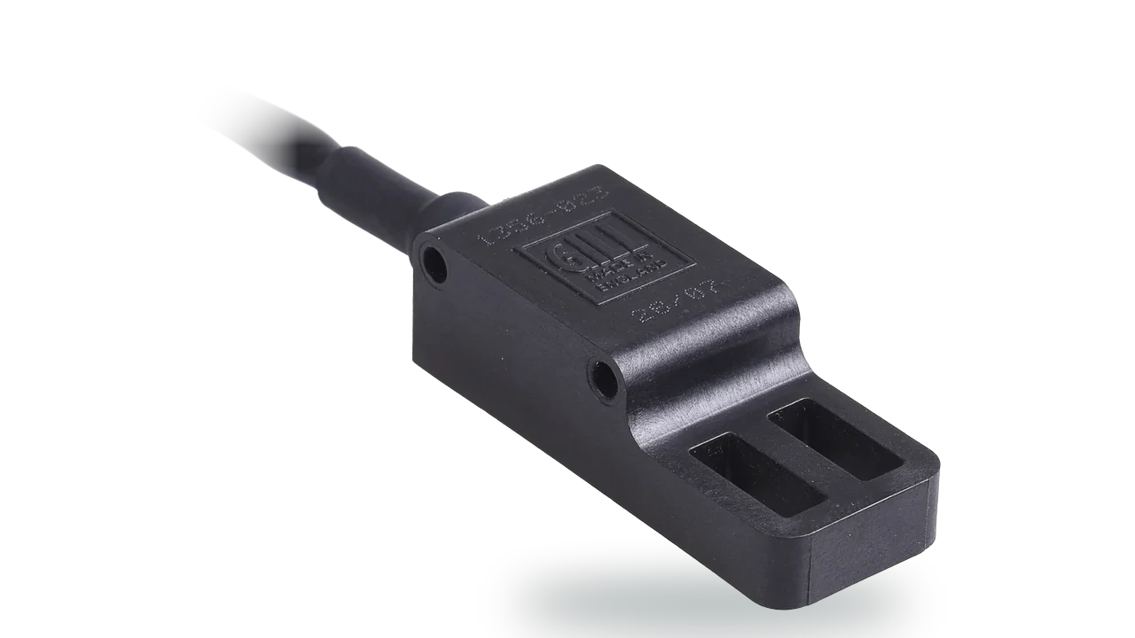
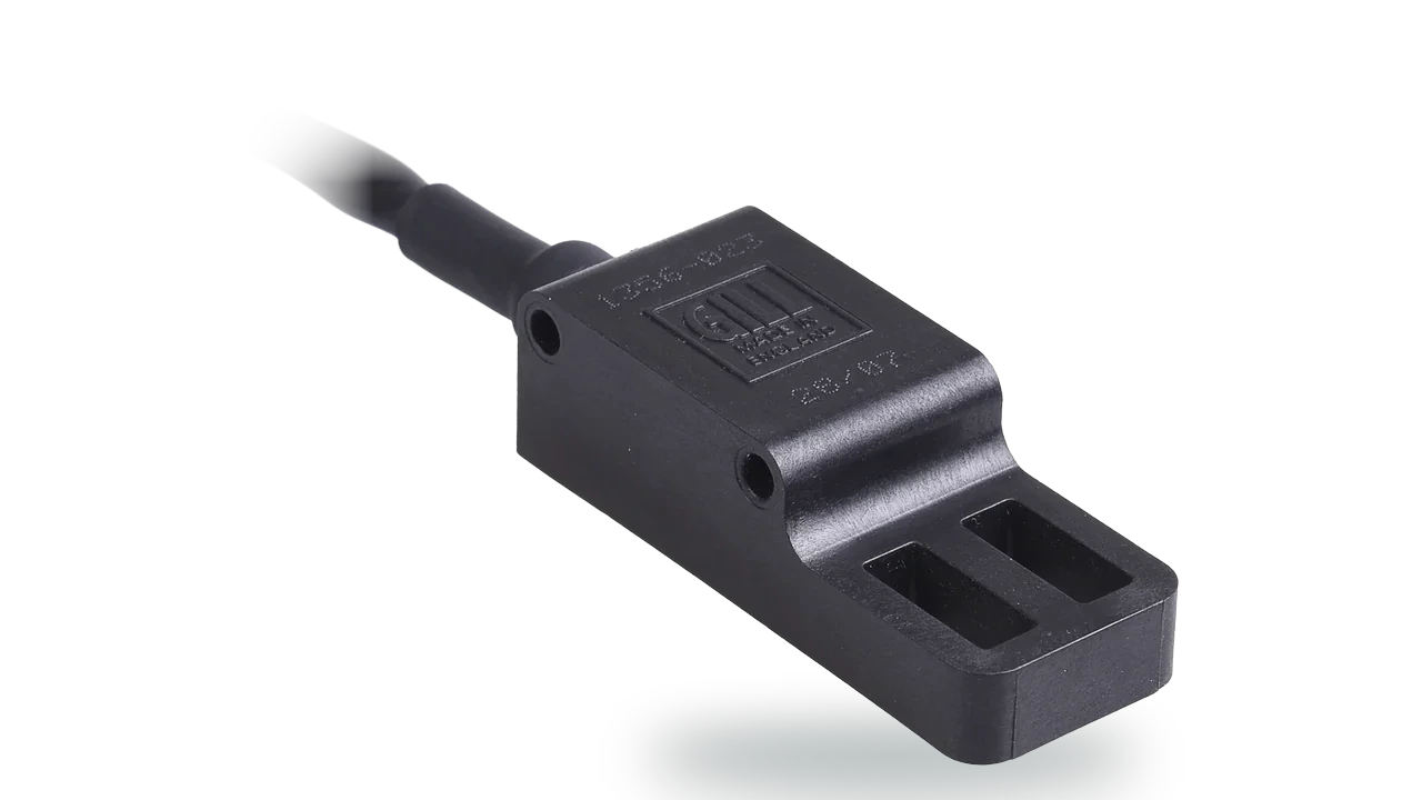
- Blade position sensors non-contact position proving on gates and penstocks
- TruMet PW100 catchment rainfall intensity, no bucket to block
Sluice, gate and penstock position
A gate that is commanded shut has to prove it is shut, under water and in silt, with a sensor that does not wear every time it moves.
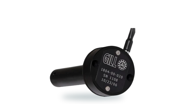
- Blade360 full 360 degree contactless position, IP67, sealed for temporary immersion (1 m for 30 min)
- Blade60 contactless linear position to 60 mm
- Blade Dual Output a second channel where redundancy is required
Flood pumping station machinery
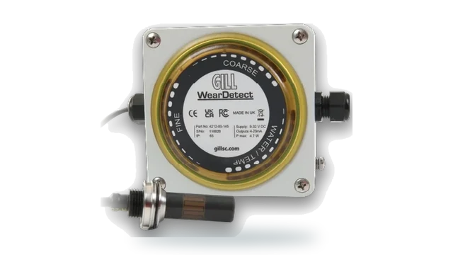
A flood pump runs hard for a few days a year and sits idle in between, so gearbox and engine wear has to be caught before the event, not during it.
- WearDetect fine and coarse ferrous debris, water presence and oil temperature
- WearDetect with Display the same sensor with an integrated display
- Outputs 0-10 V, 4-20 mA, CANbus or Modbus RTU into telemetry
Wet well and sump level
Pump start and stop, overflow alarms and spill reporting all hang on the level in a wet well full of debris and rag.
- LevelSlick coated for dirty, viscous and conductive liquids
- LevelPro stainless steel, IP66 and IP68, 0-10 V or 4-20 mA, RS232 for configuration
- DD1615 level display where a local readout is needed
Mobile incident command
A command vehicle arrives with its own met capability because the nearest station is somewhere else and the incident is here.
- MaxiMet GMX551 wind, T, H, P, solar and rainfall on one mast
- MaxiMet GMX200 wind only, 0.5 kg, fastest to raise
- WindUltra compact 2-axis, IP69k, low power for vehicle mounting
Deployable met mast
A mast that takes twenty minutes to set up in weather is a mast that does not get set up.
- MaxiMet GMX200 one unit, one cable, one output string
- MetConnect One SDI-12, Modbus and NMEA 0183 into a logger
- WindSonic 60 0.5 kg, configured with the free MetSet software
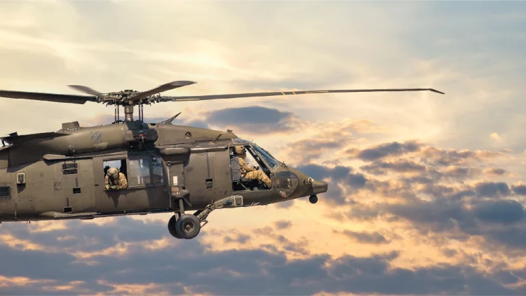
Air ambulance and landing sites
A landing site is chosen in minutes and used at night, and the wind limit is checked where the aircraft is going rather than where the met station is.
- WindObserver 70 heated, IP66, 316 stainless, marine type approved
- MaxiMet GMX501 compact station for a hospital or fixed landing site
- WindSonic M heated, 0.9 kg, for a temporary pad-side reference
Fire ground and smoke plume
Where the smoke goes decides who is evacuated, and that is a wind direction question answered at the incident within the first few minutes.
- MaxiMet GMX200 wind only, 0.5 kg, raised in a minute
- WindMaster Pro 3-axis to 32 Hz where plume rise matters
- MaxiMet GMX500 wind, temperature, humidity and pressure
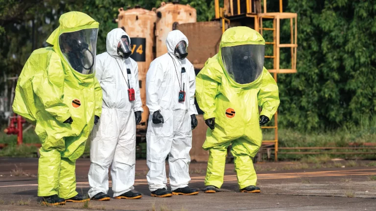
Hazardous release and dispersion
Plume modelling for a chemical release is only as good as the wind and stability data going into it, and the model is being run while people wait.
- WindMaster Pro 3-axis to 32 Hz for stability and dispersion
- MetConnect THP two analogue inputs for detection equipment
- WindObserver 75 a fixed reference at a COMAH or similar site
Water rescue and boat operations
Crews on the water need wind and conditions from the boat, on a platform where everything gets wet and nothing gets serviced mid-operation.
- WindUltra compact 2-axis, IP69k, built for wet mobile platforms
- MaxiMet GMX260 marine model with a 6-axis compass, IP66 and IP68
- MaxiMet GMX200 wind only, 0.5 kg, for a shore reference
Temporary events and crowd safety
Temporary structures, stages and marquees carry wind limits, and the decision to strike them is made by somebody who will be asked to justify it.
- WindSonic 75 0 to 75 m/s, 0.5 kg, for a temporary mast
- MaxiMet GMX200 wind only, quick to raise and configure
- WindObserver 90 0 to 90 m/s for an exposed site
Service vehicles: fuel and position
Service vans and site vehicles run on fuel that is easy to lose track of. A capacitive level sensor reports what is left in the tank with no float to stick, and non-contact position sensors give long-life feedback from pedals, steering and actuators.
River water temperature probes
Water quality and fisheries monitoring log river temperature alongside level. Labcal calibrates the probes, loggers and transmitters used.
- UKAS temperature calibration temperature probes, thermocouples, RTDs, thermometers, transmitters and data loggers, -30 to +140 °C
- Labcal, UKAS Lab 0625 ISO/IEC 17025:2017, for instruments from any manufacturer
Rising main flow meter
Pumped volumes are reported from the flow meter on the rising main. Labcal calibrates electromagnetic, ultrasonic and other liquid flow meters.
- UKAS liquid flow calibration electromagnetic, turbine, Coriolis, paddle wheel, positive displacement and ultrasonic flow meters
- Labcal, UKAS Lab 0625 ISO/IEC 17025:2017, for instruments from any manufacturer
Pump discharge pressure
Pump health and duty point are read from discharge pressure gauges and transmitters. Labcal calibrates them, whoever made them.
- UKAS pressure calibration pressure gauges, digital indicators, transmitters, transducers and switches, 0 to 1,400 bar
- Labcal, UKAS Lab 0625 ISO/IEC 17025:2017, for instruments from any manufacturer
Generator fuel level
The command vehicle runs its operations room from an on-board generator. A capacitive level sensor in the fuel tank shows how long it can stay on scene, with no float to stick on rough ground.
- LevelPro capacitive fuel level, no moving parts
Level and rainfall, from sites nobody visits
Level is the direct measurement, and it is taken in water carrying silt, debris and whatever has been picked up upstream. A float in that water is a mechanism in the worst place it could be.
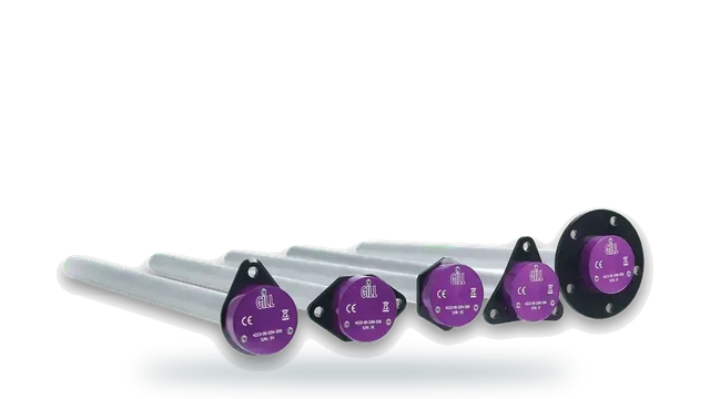
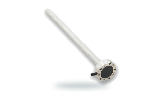
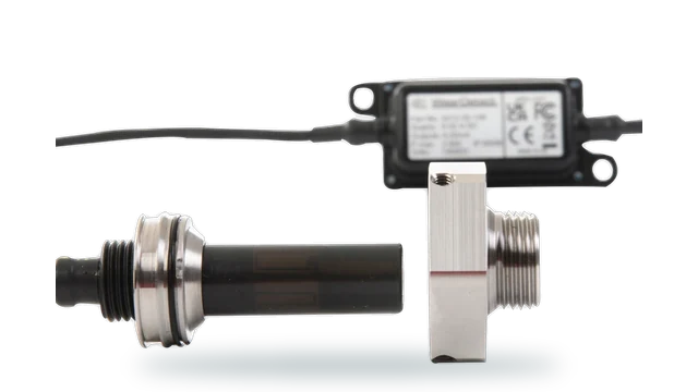
Capacitive sensing has no float and fully sealed solid-state electronics, with LevelSlick FEP coated for particulate and viscous liquids. It gives a continuous reading rather than a series of switch points.
Rainfall is the lead time. It is what gives warning before the level responds, and it has to be measured as a rate rather than as an accumulation, because the intensity is what produces the event.
Both then report from a site chosen for hydrological rather than practical reasons, on a power budget that has to survive the winter. That makes low-power telemetry integration a design decision rather than an installation detail.
No float in water carrying debris
A flood is exactly the condition that defeats a mechanical level sensor, because it arrives carrying the material that fouls one. The measurement fails at the moment it is needed.
Gill capacitive level sensors have no float and fully sealed solid-state electronics. LevelPro is corrosion-resistant stainless at IP66 and IP68, and LevelSlick adds a FEP coating for particulate, viscous and corrosive liquids.
Continuous, with nothing to foul
Explore level sensorsThe lead time comes from intensity
Warning time comes from rainfall measured before the level responds, and it is the intensity that matters. A gauge reporting accumulation over an hour has described the volume and lost the shape.
TruMet PW100 uses infrared optical measurement rather than a tipping mechanism, measuring 0 to 200 mm/hr with 5 percent accuracy and 0.1 mm resolution, with one pulse per 0.1 mm output so it replaces a tipping bucket in an existing installation.
The intensity measured, not clipped
View TruMet PW100A warning network is reviewed after the flood
Section 19 investigations, insurance claims and scheme business cases all reach back into what the network recorded and when it issued. A gap in the record during the event is the hardest thing to explain.
Calibration and traceability turn that record into evidence. An instrument on an interval supports both the warning that was issued and the case for the scheme that follows.
Labcal is an independent UKAS-accredited laboratory operating to ISO/IEC 17025:2017, calibrating equipment from any manufacturer, which suits a network built out over many years and several programmes.
What a warning network carries
Level sensing that survives the flood, precipitation measurement that captures the intensity, and low-power integration for sites with no infrastructure.
Level and rainfall
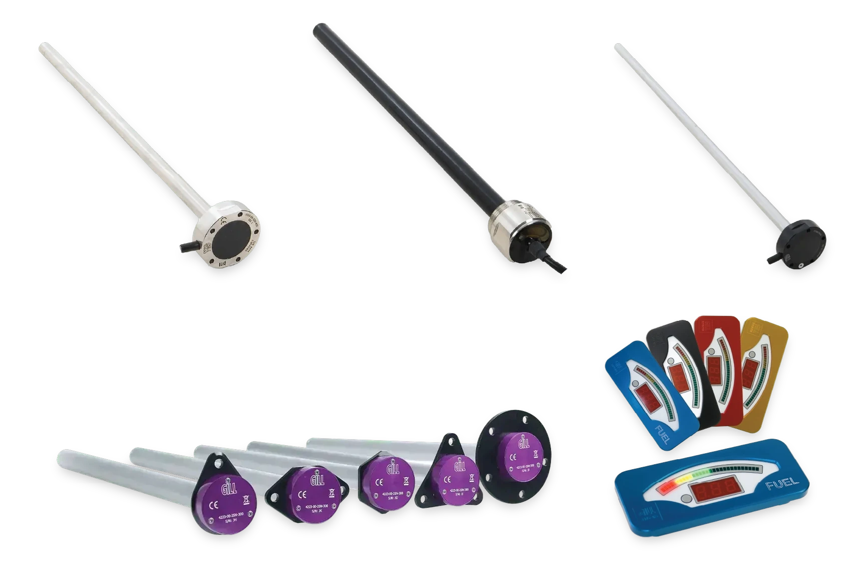
Level sensing
Capacitive liquid level sensors
Continuous level with no float, in stainless or FEP coated construction for water carrying silt and debris.
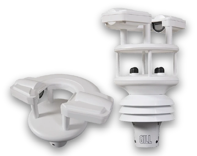
TruMet PW100
Infrared optical rain gauge
Optical measurement to 0 to 200 mm/hr, replacing a tipping bucket without changing the logger.
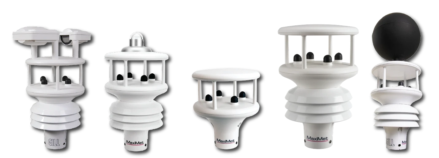
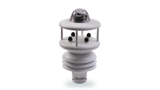
MaxiMet
All-in-one weather station, no moving parts
Wind, temperature, humidity, pressure and rainfall from one unit where a site carries a fuller record.
Exposed and remote sites
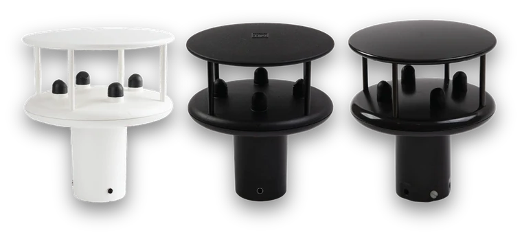
WindSonic
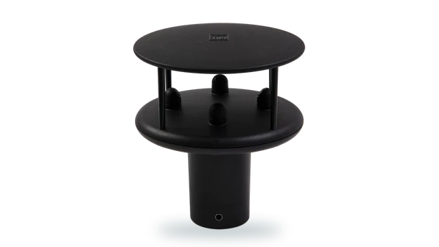
Lightweight 2-axis ultrasonic anemometer
Lightweight ultrasonic wind measurement for coastal and estuary sites where surge and wind are related.
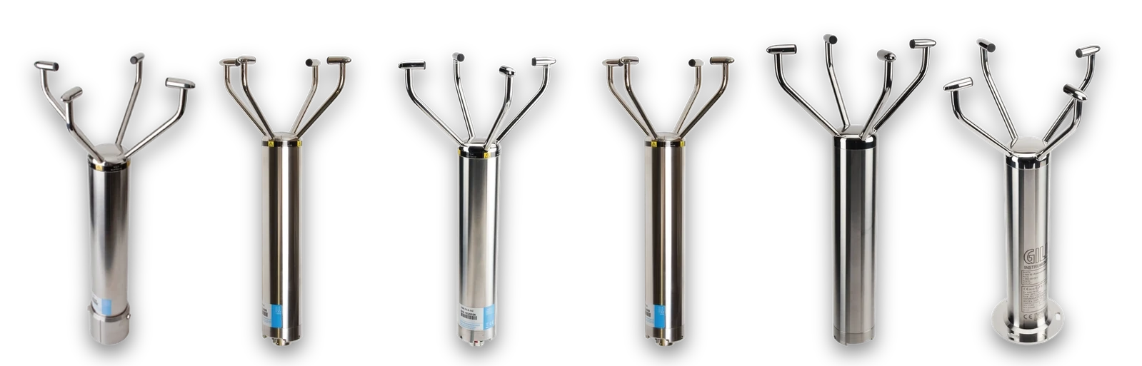
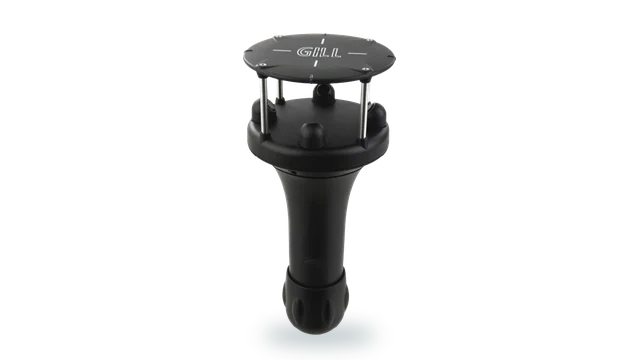
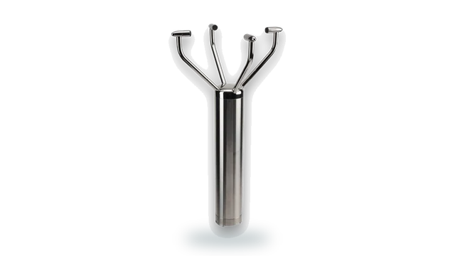
WindObserver
Heated 316 stainless open-head 2-axis anemometer
Heated 316 stainless measuring to 0 to 90 m/s for exposed coastal defences and barriers.
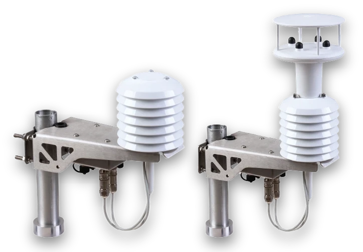
MetConnect
Separable sensors for WMO-compliant siting
Separable sensors where a site keeps a fuller meteorological record at defined heights.
Where flood warning measurement does the work
Level networks
Continuous level from sites chosen for hydrological rather than practical reasons.
Lead time
Intensity measurement that gives warning before the level responds.
Surge and wind
Level alongside wind measurement where the two together produce the event.
Fast response
Small catchments where the response is sharp and an hourly figure explains nothing.
Barriers and sluices
Measurement supporting the operation of flood defence infrastructure.
Evidence
Records supporting the case for investment after an event.
UKAS-accredited calibration for six measurement parameters
Labcal is an independent UKAS-accredited calibration laboratory, Lab 0625, operating to ISO/IEC 17025:2017. It provides calibration across gas and air flow, air velocity, liquid flow, pressure, temperature and humidity.
For a warning network carrying level sensors, rain gauges, pressure instruments, thermal probes, temperature and humidity probes and data loggers, one accredited laboratory keeps a network built over many years on a single traceable schedule.
Gas meters · Mass flow controllers · Dispensing systems
Anemometers · Pitot tubes · Thermal probes
Flow meters and sensors · Process control equipment
Gauges · Transducers · Manometers · Transmitters
Thermometers · Probes · Thermocouples · Data loggers
Hygrometers · Probes · Transmitters
Reporting from a site with no infrastructure
A warning gauge has whatever power and communications were installed with it, often years ago, and it has to keep reporting through the event on both.
Gill supports environmental monitoring, industrial sensing, embedded electronics and systems integration, so agencies, contractors and telemetry suppliers can bring measurement into existing warning and telemetry systems.
Whether the requirement is SDI-12 into a low-power logger, a pulse output replacing a tipping bucket, Modbus into a telemetry outstation, or analogue into an existing channel, Gill engineers can support integration from specification through commissioning.
Outputs and options
- SDI-12 : Low-power loggers and outstations
- Pulse output : One pulse per 0.1 mm, replacing a tipping bucket
- Modbus RTU : Telemetry and warning systems
- 4-20 mA & 0-10 V : Existing analogue channels
What the specification looks like in practice
No float in flood water
Capacitive sensing has no mechanism in water carrying silt and debris, which is what a flood arrives with.
Intensity, not just accumulation
Optical measurement to 0 to 200 mm/hr captures the rate that produces the event rather than the total afterwards.
Replaces a tipping bucket in place
One pulse per 0.1 mm means an existing logger and telemetry configuration generally continues to work.
Built for a site nobody visits
Sealed construction and low-power operation, for gauges left to run between events.
Nothing to block
No tipping mechanism and no rotating anemometer element to foul in the conditions that matter.
Evidence after the event
Independent UKAS-accredited calibration across six parameters, for equipment from any manufacturer.
Questions about flood warning and water level
Because there is no float. A flood arrives carrying silt and debris, which is exactly what fouls a mechanical level sensor, so the measurement fails at the moment it is needed.
LevelPro is stainless at IP66 and IP68, and LevelSlick adds a FEP coating for particulate, viscous and corrosive liquids.
Because it caps the intensity it can resolve and blocks with debris. TruMet PW100 uses infrared optical measurement to 0 to 200 mm/hr with 5 percent accuracy and 0.1 mm resolution.
Usually. TruMet PW100 outputs one pulse per 0.1 mm, replicating a tipping bucket, so an existing logger and outstation configuration generally continues to work.
SDI-12 output suits low-power loggers, which is the usual arrangement on a battery and solar site. The power budget should be confirmed as part of specifying the station.
Where surge is part of the mechanism, yes. Ultrasonic wind measurement avoids the rotating element that fails in coastal exposure, with heated options for winter.
Yes. Labcal is an independent UKAS-accredited calibration laboratory, Lab 0625, operating to ISO/IEC 17025:2017, calibrating equipment from any manufacturer across gas and air flow, air velocity, liquid flow, pressure, temperature and humidity.
Speak to our team
Tell us what you need to measure, where and under what conditions. We'll help you work out the appropriate approach.
We aim to respond in one working day.