


The gauge has to survive
the event it exists to record
Optical precipitation measurement and capacitive level sensing for catchment studies, with low-power SDI-12 integration for remote sites where the maintenance burden is part of the measurement quality.
The record fails on the day it matters most
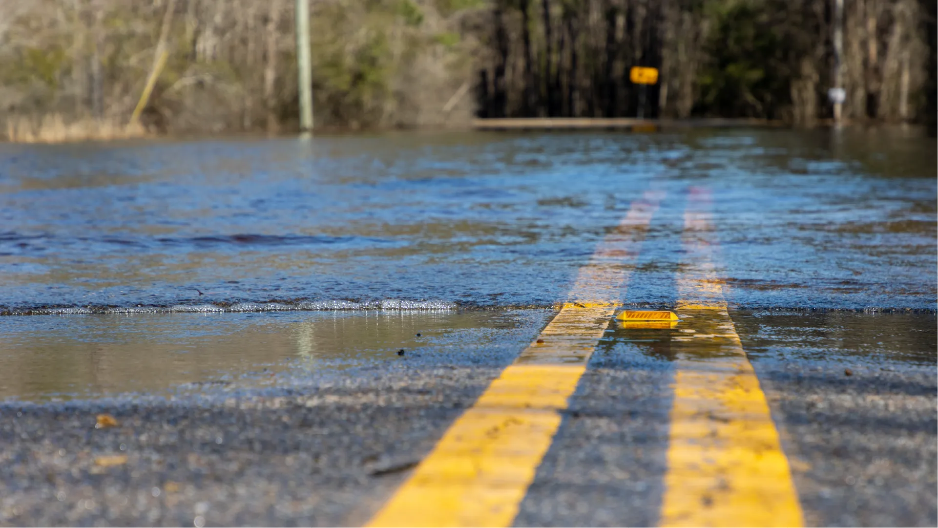
A catchment study pairs precipitation with river response, and the pairing only has value across the events that define the catchment. A record that is complete for eleven months and missing the storm is not most of a dataset.
That is precisely when instruments fail. A tipping bucket cannot keep up with high intensity rainfall and under-reports the peak, or it blocks with debris and reports nothing. A level sensor with a float finds the moving water that the study exists to measure.
Remote gauges compound it. A site chosen for hydrological reasons is usually a site chosen against access, so the visit that would have found the fault does not happen until after the event has passed.
Every research question starts at a measurement point
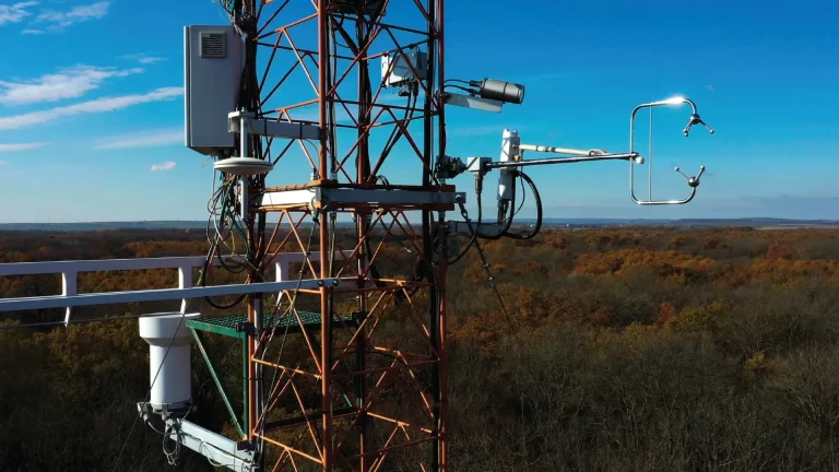
A well-run research site follows the pattern of networks such as NEON: one instrumented tower above the canopy, a reference station beside it, field plots around it and the river the catchment drains to. Select a point to see what is measured there and which sensors fit.
Above-canopy eddy covariance
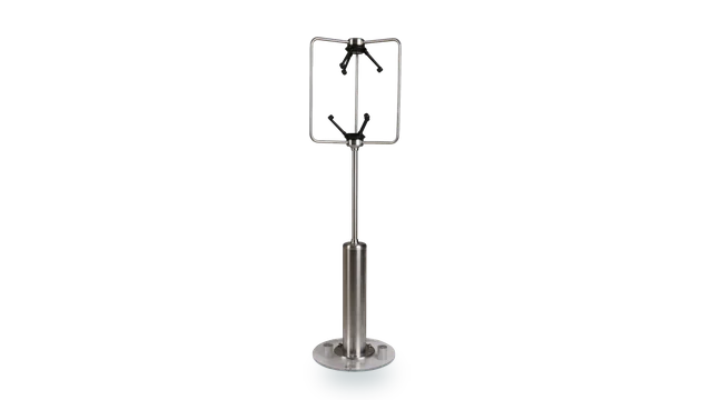
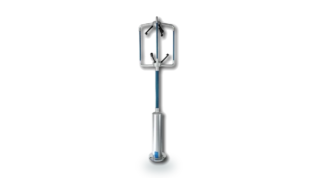
At the top of the tower a 3-axis sonic resolves the vertical wind fast enough to measure the flux itself, sampling the same air as your gas analyser. The footprint moves with wind direction and stability, so the head has to see the whole wind rose.
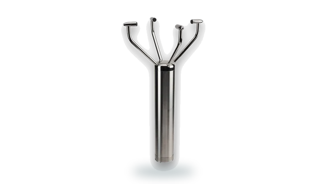
- R3-100 100 Hz 3-axis, wind speed accuracy under 1 percent
- R3-50 50 Hz 3-axis, individually calibrated as standard
- HS-50 horizontal head with a built-in inclinometer
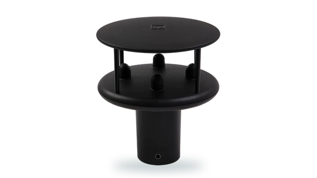
- WindMaster Pro symmetrical head for all-direction work, to 32 Hz
Radiation and surface energy balance
Closing the energy balance needs radiation measured at the tower top and soil temperature in the plots below, recorded alongside the turbulent fluxes. The wind term is the one most often under-resolved.
- MaxiMet GMX301 solar radiation, 0 to 1600 W per square metre
- R3-50 50 Hz 3-axis for the turbulent flux terms
- MetConnect THP four-wire Pt100 input to IEC 60751 for soil temperature probes
Profile at several heights
Research towers carry a 2-axis sonic and an aspirated temperature sensor at each level, from above the canopy down towards the ground, so the profile shows how wind and temperature change with height. The National Ecological Observatory Network (NEON) specifies Gill WindObserver sonics for the 2-axis wind on its tower levels.
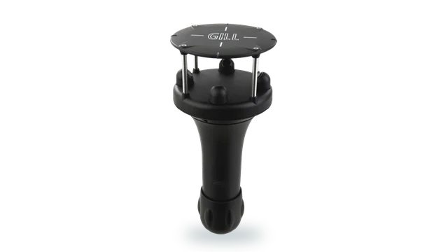
- WindObserver II heated 2-axis sonic, 0 to 65 m/s, 316 stainless
- WindSonic 60 0.5 kg, low cost per additional level
- MetConnect THP temperature and humidity at each level, Pt100 and analogue inputs
Air quality and dispersion
A concentration reading needs the meteorology beside it before it can be attributed to a source. On a research site the inlet usually sits on the main tower, sharing its wind, temperature, humidity and rainfall record.
- WindMaster Pro 3-axis to 32 Hz for dispersion and turbulence
- MetConnect THP two analogue inputs for third-party gas analysers
- MaxiMet GMX500 wind, temperature, humidity and pressure in one unit
- MaxiMet GMX603 adds high-accuracy optical rainfall, 5 percent or better
Sub-canopy and understorey measurement
Below the canopy the flow is slow, sheltered and three-dimensional, and a sensor designed for storm survival will not resolve it.
- HS-50 horizontal head, minimal disturbance to vertical flow
- WindMaster HS horizontal head, 32 Hz, stainless steel
- WindMaster 3-axis to 20 Hz with a 32 Hz option
Logging, outputs and data continuity
A dataset that changes instrument or protocol mid-series carries a step change that has to be explained in every paper that uses it. Keeping the station and its outputs consistent is what keeps the series clean.
- MetConnect One ASCII, Modbus RTU and ASCII, NMEA 0183, SDI-12 v1.3
- MetConnect THP MetSet and MetView configuration and logging software
Reference weather station
The reference station is the record everything else is compared against, so siting and continuity matter more than headline accuracy. WMO siting separates the sensors by height rather than stacking them in one housing.
- MetConnect THP temperature 0.2 degrees C, humidity 1.5 percent RH, pressure 0.5 hPa
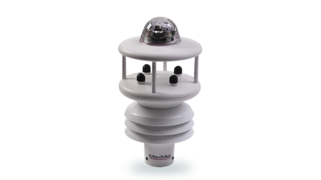
- MaxiMet GMX551 wind, T, H, P, solar and rainfall in one housing
- MaxiMet GMX300 temperature, humidity and pressure only
Precipitation measurement
A tipping bucket blocks with leaf litter and under-reads in drizzle, which on a ten-year dataset is a systematic error rather than a gap. Reference networks also shield the gauge from the wind, because wind-driven undercatch is the largest error in rainfall measurement.
- TruMet PW100 optical, 0 to 200 mm/hr, 5 percent, 0.1 mm resolution
- MaxiMet GMX603 integrated optical rainfall, 5 percent or better
- MetConnect THP contact-closure input for the TruMet pulse output
Field and land-use plots
Comparing plots only works if the meteorology over each is measured the same way, with the same instrument and the same calibration history. Rainfall is often the variable that separates one plot from the next.
- MaxiMet GMX551 one unit per plot, one cable, one output string
- MaxiMet GMX603 wind, T, H, P and high-accuracy optical rainfall
- MaxiMet GMX550 wind, T, H, P and rainfall without solar
- WindSonic 60 a repeatable wind reference at plot scale
Portable and campaign deployments
A field campaign is judged on whether it came back with a complete record. Small tripod stations set out across the site show how conditions vary from place to place, and an all-in-one unit keeps setup time short in bad weather.
- MaxiMet GMX500 wind, temperature, humidity and pressure on one tripod
- MaxiMet GMX603 adds high-accuracy optical rainfall
- MaxiMet GMX300 temperature, humidity and pressure, paired with a WindSonic for wind
- WindSonic 60 0.5 kg, straightforward to configure with MetSet
UAV atmospheric profiling
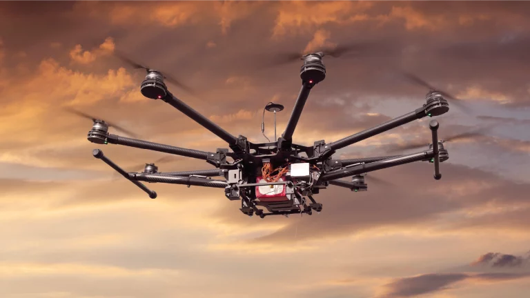
Airborne profiling puts the sensor on a platform where every gram is traded against endurance, and the launch site needs its own weather reference for launch and recovery.
- WindUltra compact 2-axis, IP69k, low power
- WindSonic 60 0.5 kg ground reference for launch and recovery
- MaxiMet GMX200 portable wind reference at the operating site
- MaxiMet GMX500 temperature, humidity and pressure at the launch site
- MaxiMet GMX603 adds rainfall for the go or no-go decision
River gauging and hydrometeorology
Catchment work pairs rainfall with what the river actually does, and both records have to be continuous through the events that matter.
- TruMet PW100 no moving parts, less to block at a remote gauge
- MetConnect One SDI-12 v1.3 into an existing hydrometric logger
- MaxiMet GMX400 temperature, humidity, pressure and rainfall
- MaxiMet GMX603 wind, T, H, P and high-accuracy optical rainfall
Cold climate and harsh sites
The seasons that break the instrument are usually the seasons the study is about, and a gap in winter is a gap in the conclusion.
- WindObserver 75 heated, icing tested to MIL-STD-810F
- WindSonic M heated aluminium body, operating to -40 degrees C
- R3-50 operating -40 to +60 degrees C
Soil temperature probes
Energy balance and soil flux work rests on soil temperature profiles. Labcal calibrates the probes, thermistors and loggers used in the plots.
- UKAS temperature calibration temperature probes, thermocouples, RTDs, thermometers, transmitters and data loggers, -30 to +140 °C
- Labcal, UKAS Lab 0625 ISO/IEC 17025:2017, for instruments from any manufacturer
Reference hygrometers
A reference station is only as good as the reference instruments it is checked against. Labcal calibrates hygrometers, humidity probes and dew point sensors.
- UKAS humidity calibration hygrometers, humidity transmitters, combined temperature and humidity probes, dew point sensors and loggers
- Labcal, UKAS Lab 0625 ISO/IEC 17025:2017, for instruments from any manufacturer
Air sampler flow rates
Air quality and gas sampling depend on the pump and mass flow controller drawing the right volume. Labcal calibrates mass flow meters and controllers, rotameters and gas meters.
- UKAS gas and air flow calibration rotameters, mass flow meters and controllers, gas meters, Coriolis, orifice and vortex meters
- Labcal, UKAS Lab 0625 ISO/IEC 17025:2017, for instruments from any manufacturer
Service vehicles: fuel and position
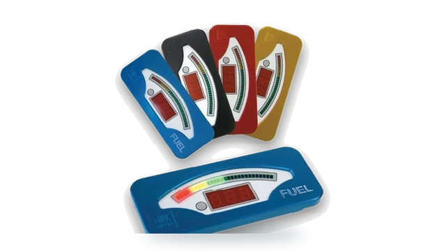
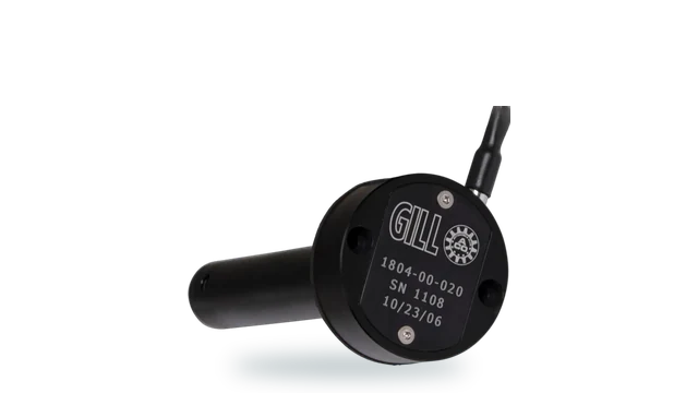
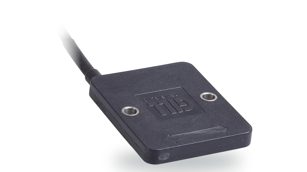
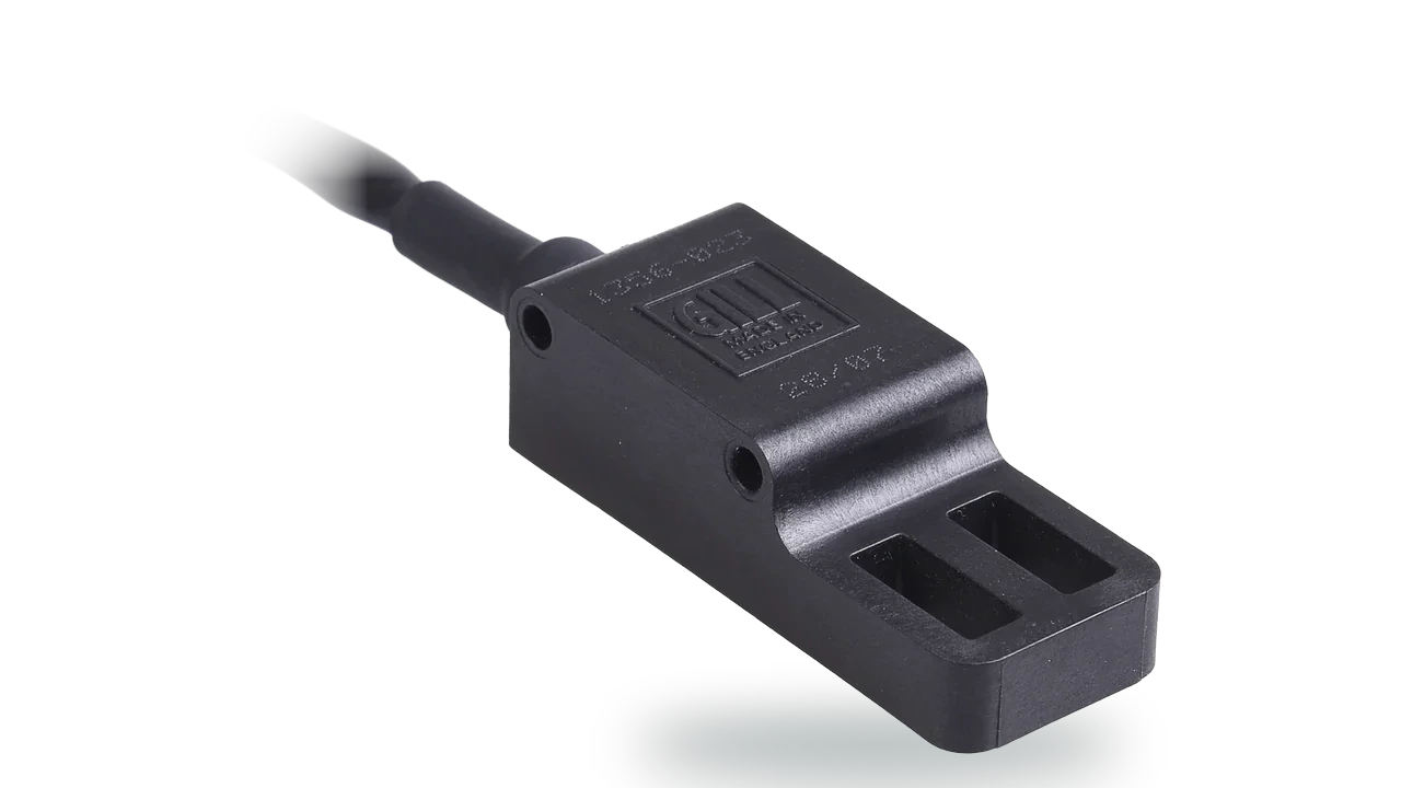
Service vans and site vehicles run on fuel that is easy to lose track of. A capacitive level sensor reports what is left in the tank with no float to stick, and non-contact position sensors give long-life feedback from pedals, steering and actuators.
Intensity, accumulation and level, all through the same storm
Rainfall intensity drives the hydrograph. Accumulation over an hour tells you the volume and hides the shape, and the shape is what produces the peak flow a catchment study is trying to explain.
A tipping mechanism measures by counting discrete tips, which caps the intensity it can resolve and introduces error that grows with rate. Optical measurement counts the precipitation passing through a beam, so high intensity is measured rather than approximated.
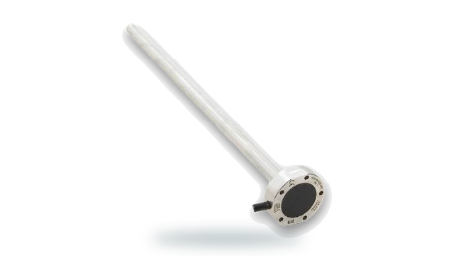
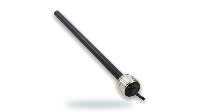
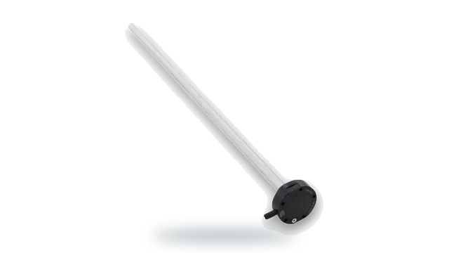
Water level is the other half. Capacitive sensing gives continuous level with no float, in a channel carrying debris, silt and whatever the catchment has picked up upstream.
Both then have to report from a site with no mains power, on a power budget that assumes nobody is visiting until spring. That makes low-power integration a measurement decision, not an installation detail.
Optical measurement does not block or miss the peak
A tipping bucket depends on a mechanism, and mechanisms fill with leaves, insects and silt. Once blocked it reports a dry catchment during the event, which is the failure that costs a season of work.
TruMet PW100 uses infrared optical measurement rather than a tipping mechanism, measuring 0 to 200 mm/hr with 5 percent accuracy and 0.1 mm resolution. It outputs one pulse per 0.1 mm, replicating a tipping bucket, so it drops into a logger that already expects one.
The peak measured, not clipped
View TruMet PW100Everything is designed against the site visit
A gauge sited for hydrological reasons is usually awkward to reach, so every service visit costs a day and often a vehicle. The specification decision that matters is how rarely the instrument needs one.
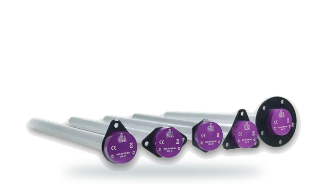
Capacitive level sensing has no float and fully sealed solid-state electronics, with LevelSlick FEP coated for particulate and viscous liquids. Combined with low-power SDI-12 output into a logger, a site can run through a season unattended.
Specify for the visit you will not make
Explore level sensorsA catchment dataset outlives the project
Flood studies, consent applications and model calibration all reach back into catchment records collected years earlier by someone else, and they ask which instrument, sited where, calibrated when.
That makes traceability part of the dataset rather than part of the paperwork. An instrument on a traceable interval keeps a record usable long after the project that funded it has closed.
Labcal is an independent UKAS-accredited laboratory operating to ISO/IEC 17025:2017, calibrating equipment from any manufacturer, which matters across a catchment instrumented over several funding rounds.
What a catchment site carries
Precipitation measurement that survives the storm, level sensing that survives the channel, and the meteorology behind evaporation and snowmelt.
Precipitation and level
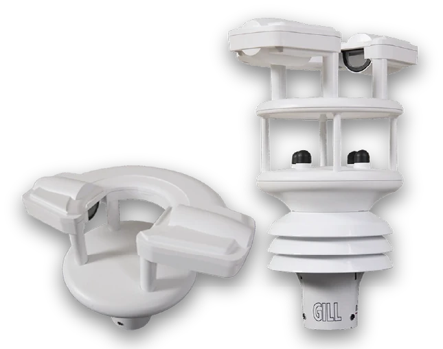
TruMet PW100
Infrared optical rain gauge
Optical rainfall measurement to 0 to 200 mm/hr, so the intensity that drives the hydrograph is measured rather than clipped by a mechanism.
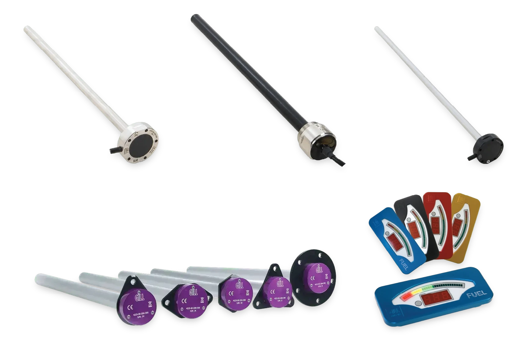
Level sensing
Capacitive liquid level sensors
Continuous level with no float, including a FEP-coated variant for water carrying particulate and silt.
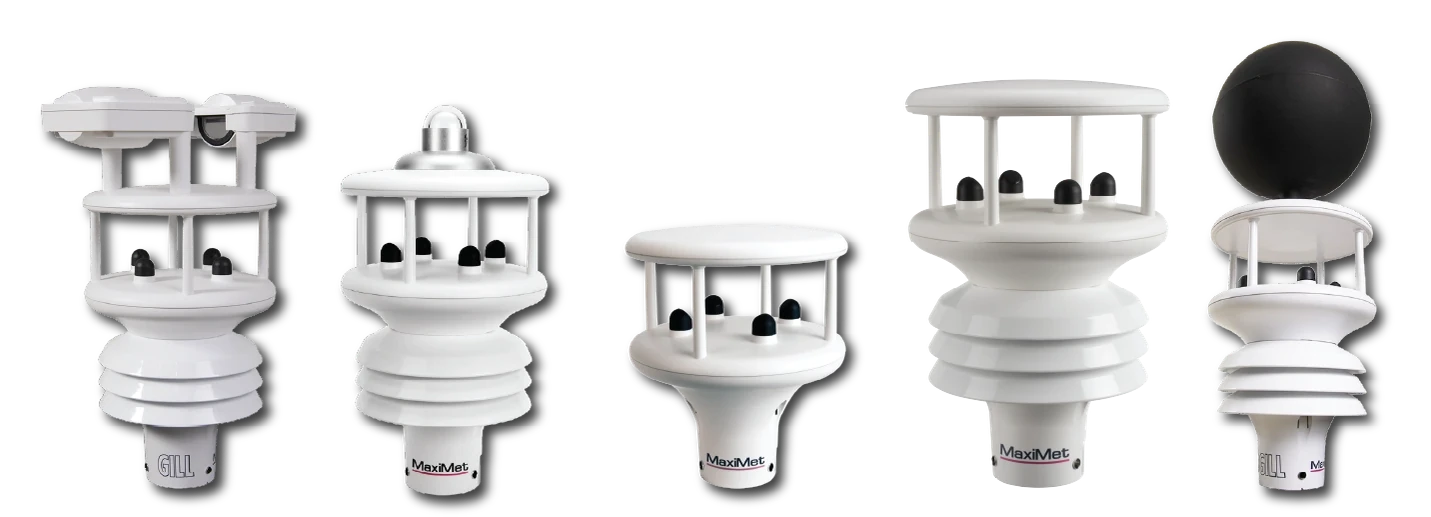
MaxiMet
All-in-one weather station, no moving parts
One unit and one cable for the supporting meteorology, including solar radiation and wind for evaporation estimates.
Meteorology and profiles
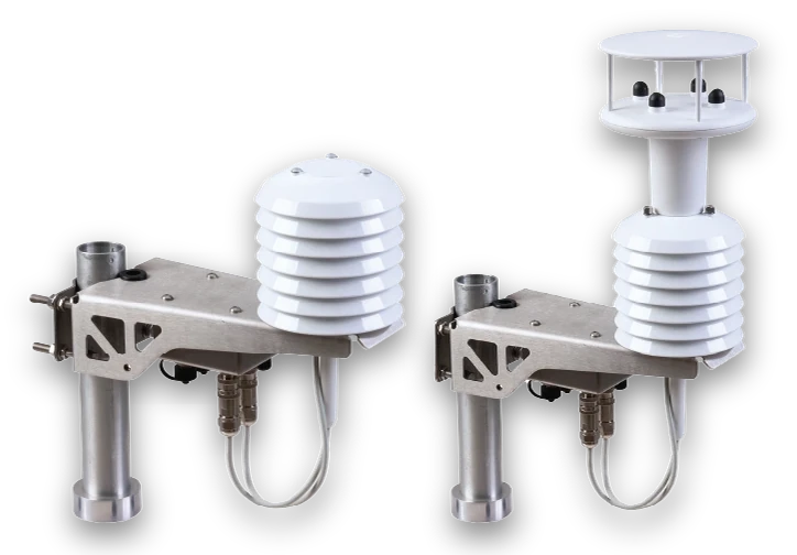
MetConnect
Separable sensors for WMO-compliant siting
Separable sensors where temperature and humidity need to sit at defined heights alongside the hydrological measurement.
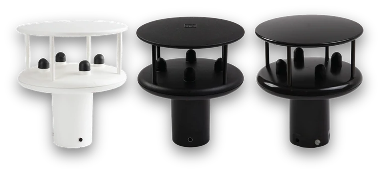
WindSonic
Lightweight 2-axis ultrasonic anemometer
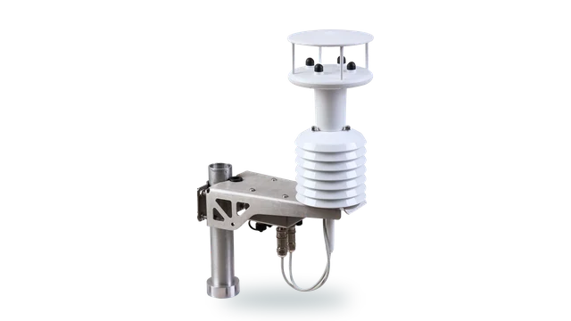
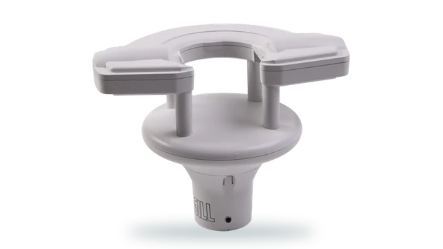
Lightweight ultrasonic wind measurement for evaporation and snowmelt work, with heated options for upland sites.
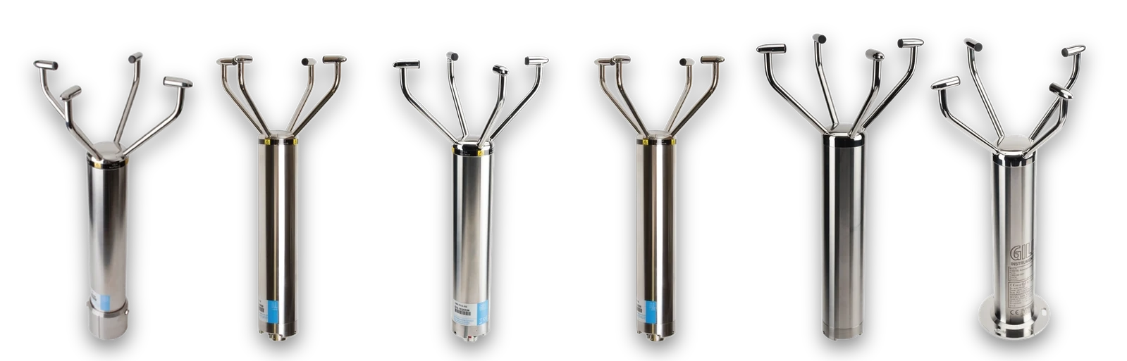
WindObserver
Heated 316 stainless open-head 2-axis anemometer
Heated 316 stainless for exposed upland catchments where icing would otherwise create the gap.
Where catchment measurement does the work
Rainfall and response
Pairing intensity with river level through the events that define the catchment.
Exposed gauges
Sites where snow, ice and access all argue against a mechanism.
Fast response
Small catchments where the hydrograph is sharp and hourly accumulation explains nothing.
Long series
Records used to calibrate and then to re-calibrate hydrological models years apart.
Discharge and abstraction
Level and rainfall records supporting regulatory positions.
Instrumented basins
Sites carrying instruments from several projects on one power and telemetry budget.
UKAS-accredited calibration for six measurement parameters
Labcal is an independent UKAS-accredited calibration laboratory, Lab 0625, operating to ISO/IEC 17025:2017. It provides calibration across gas and air flow, air velocity, liquid flow, pressure, temperature and humidity.
For a catchment carrying rain gauges, level sensors, thermal probes, pressure instruments, temperature and humidity probes and data loggers, one accredited laboratory keeps instruments installed over several funding rounds on a single traceable schedule.
Gas meters · Mass flow controllers · Dispensing systems
Anemometers · Pitot tubes · Thermal probes
Flow meters and sensors · Process control equipment
Gauges · Transducers · Manometers · Transmitters
Thermometers · Probes · Thermocouples · Data loggers
Hygrometers · Probes · Transmitters
Getting data off a site nobody is visiting
A catchment gauge reports from a location with no mains power, often no mobile coverage and no routine visit, and it has to keep doing so through the season it exists to measure.
Gill supports environmental monitoring, industrial sensing, embedded electronics and systems integration, so agencies, consultants and research groups can bring measurement into loggers, telemetry and catchment databases.
Whether the requirement is SDI-12 into a low-power logger, a pulse output replacing a tipping bucket, or analogue into an existing channel, Gill engineers can support integration from specification through commissioning.
Outputs and options
- SDI-12 : Low-power loggers on remote gauges
- Pulse output : One pulse per 0.1 mm, replacing a tipping bucket
- 4-20 mA & 0-10 V : Existing analogue channels
- Modbus RTU : Telemetry and catchment systems
What the specification looks like in practice
The peak is measured, not clipped
Optical measurement to 0 to 200 mm/hr resolves the intensity that drives the hydrograph, where a tipping mechanism caps it.
Nothing to block
No tipping mechanism means no leaves, insects or silt stopping the gauge during the event.
Drops into the logger you have
One pulse per 0.1 mm replicates a tipping bucket, so an existing installation does not need rewriting.
Level without a float
Capacitive sensing has no moving component in water carrying debris and silt, with a FEP-coated option for the worst of it.
Built for a season alone
Low-power SDI-12 operation and sealed construction, for sites where the next visit is in the spring.
Traceable years later
Independent UKAS-accredited calibration across six parameters, for equipment from any manufacturer.
Questions about catchment and hydrometeorology
Because it measures by counting discrete tips, which caps the intensity it can resolve and introduces error that grows with rate. It also blocks with leaves, insects and silt, and a blocked gauge reports a dry catchment during the storm.
TruMet PW100 uses infrared optical sensing measuring 0 to 200 mm/hr with 5 percent accuracy and 0.1 mm resolution.
Usually. TruMet PW100 outputs one pulse per 0.1 mm, replicating a tipping bucket, so an existing logger configuration generally continues to work.
Because there is no float to foul in water carrying debris and silt. LevelSlick uses a FEP-coated construction for particulate, viscous and corrosive liquids, and LevelPro is stainless at IP66 and IP68.
SDI-12 output suits low-power loggers, which is the usual arrangement on a battery and solar site. The power budget should be reviewed as part of specifying the station.
If the work includes evaporation, snowmelt or gauge undercatch, yes. Ultrasonic wind measurement avoids the rotating element that ices on upland sites, with heated options where that matters.
Yes. Labcal is an independent UKAS-accredited calibration laboratory, Lab 0625, operating to ISO/IEC 17025:2017, calibrating equipment from any manufacturer across gas and air flow, air velocity, liquid flow, pressure, temperature and humidity.
Speak to our team
Tell us what you need to measure, where and under what conditions. We'll help you work out the appropriate approach.
We aim to respond in one working day.