

Every other station
is checked against this one
Separable weather stations for reference sites and long-term networks, where continuity, siting and a calibration history that survives staff changes matter more than a headline specification.
A reference record is broken by gaps, not by accuracy
A long-term site exists so that other measurements can be compared against it, and its value comes almost entirely from continuity. A record with three winters missing is not a slightly worse record, it is a different one.
The threats to continuity are rarely dramatic. An anemometer ices for a fortnight and reports calm. A sensor is replaced with a different model and the series steps. Somebody leaves and the calibration history leaves with them.
None of those are accuracy problems, and none of them are visible in a specification sheet. They are decisions about architecture, siting and process that were taken at installation and only become apparent years later.
Every research question starts at a measurement point
A well-run research site follows the pattern of networks such as NEON: one instrumented tower above the canopy, a reference station beside it, field plots around it and the river the catchment drains to. Select a point to see what is measured there and which sensors fit.
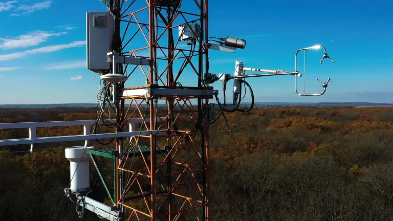
Above-canopy eddy covariance
At the top of the tower a 3-axis sonic resolves the vertical wind fast enough to measure the flux itself, sampling the same air as your gas analyser. The footprint moves with wind direction and stability, so the head has to see the whole wind rose.
- R3-100 100 Hz 3-axis, wind speed accuracy under 1 percent
- R3-50 50 Hz 3-axis, individually calibrated as standard
- HS-50 horizontal head with a built-in inclinometer
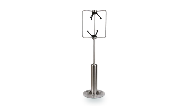
- WindMaster Pro symmetrical head for all-direction work, to 32 Hz
Radiation and surface energy balance
Closing the energy balance needs radiation measured at the tower top and soil temperature in the plots below, recorded alongside the turbulent fluxes. The wind term is the one most often under-resolved.
- MaxiMet GMX301 solar radiation, 0 to 1600 W per square metre
- R3-50 50 Hz 3-axis for the turbulent flux terms
- MetConnect THP four-wire Pt100 input to IEC 60751 for soil temperature probes
Profile at several heights
Research towers carry a 2-axis sonic and an aspirated temperature sensor at each level, from above the canopy down towards the ground, so the profile shows how wind and temperature change with height. The National Ecological Observatory Network (NEON) specifies Gill WindObserver sonics for the 2-axis wind on its tower levels.
- WindObserver II heated 2-axis sonic, 0 to 65 m/s, 316 stainless
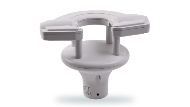
- WindSonic 60 0.5 kg, low cost per additional level
- MetConnect THP temperature and humidity at each level, Pt100 and analogue inputs
Air quality and dispersion
A concentration reading needs the meteorology beside it before it can be attributed to a source. On a research site the inlet usually sits on the main tower, sharing its wind, temperature, humidity and rainfall record.
- WindMaster Pro 3-axis to 32 Hz for dispersion and turbulence
- MetConnect THP two analogue inputs for third-party gas analysers
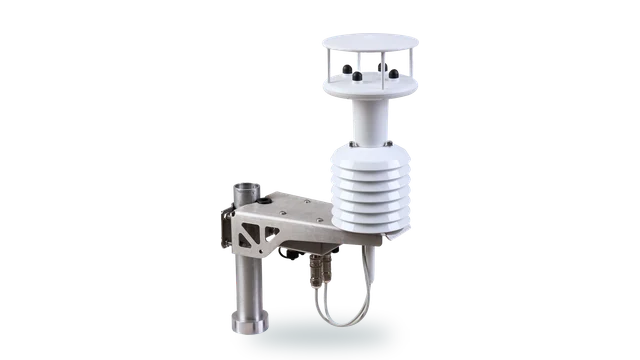
- MaxiMet GMX500 wind, temperature, humidity and pressure in one unit
- MaxiMet GMX603 adds high-accuracy optical rainfall, 5 percent or better
Sub-canopy and understorey measurement
Below the canopy the flow is slow, sheltered and three-dimensional, and a sensor designed for storm survival will not resolve it.
- HS-50 horizontal head, minimal disturbance to vertical flow
- WindMaster HS horizontal head, 32 Hz, stainless steel
- WindMaster 3-axis to 20 Hz with a 32 Hz option
Logging, outputs and data continuity
A dataset that changes instrument or protocol mid-series carries a step change that has to be explained in every paper that uses it. Keeping the station and its outputs consistent is what keeps the series clean.
- MetConnect One ASCII, Modbus RTU and ASCII, NMEA 0183, SDI-12 v1.3
- MetConnect THP MetSet and MetView configuration and logging software
Reference weather station
The reference station is the record everything else is compared against, so siting and continuity matter more than headline accuracy. WMO siting separates the sensors by height rather than stacking them in one housing.
- MetConnect THP temperature 0.2 degrees C, humidity 1.5 percent RH, pressure 0.5 hPa
- MaxiMet GMX551 wind, T, H, P, solar and rainfall in one housing
- MaxiMet GMX300 temperature, humidity and pressure only
Precipitation measurement
A tipping bucket blocks with leaf litter and under-reads in drizzle, which on a ten-year dataset is a systematic error rather than a gap. Reference networks also shield the gauge from the wind, because wind-driven undercatch is the largest error in rainfall measurement.
- TruMet PW100 optical, 0 to 200 mm/hr, 5 percent, 0.1 mm resolution
- MaxiMet GMX603 integrated optical rainfall, 5 percent or better
- MetConnect THP contact-closure input for the TruMet pulse output
Field and land-use plots
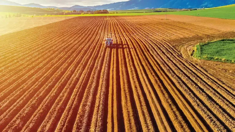
Comparing plots only works if the meteorology over each is measured the same way, with the same instrument and the same calibration history. Rainfall is often the variable that separates one plot from the next.
- MaxiMet GMX551 one unit per plot, one cable, one output string
- MaxiMet GMX603 wind, T, H, P and high-accuracy optical rainfall
- MaxiMet GMX550 wind, T, H, P and rainfall without solar
- WindSonic 60 a repeatable wind reference at plot scale
Portable and campaign deployments
A field campaign is judged on whether it came back with a complete record. Small tripod stations set out across the site show how conditions vary from place to place, and an all-in-one unit keeps setup time short in bad weather.
- MaxiMet GMX500 wind, temperature, humidity and pressure on one tripod
- MaxiMet GMX603 adds high-accuracy optical rainfall
- MaxiMet GMX300 temperature, humidity and pressure, paired with a WindSonic for wind
- WindSonic 60 0.5 kg, straightforward to configure with MetSet
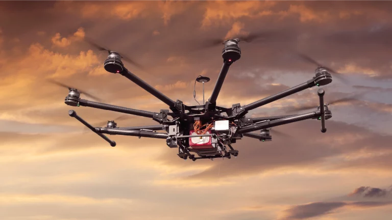
UAV atmospheric profiling
Airborne profiling puts the sensor on a platform where every gram is traded against endurance, and the launch site needs its own weather reference for launch and recovery.
- WindUltra compact 2-axis, IP69k, low power
- WindSonic 60 0.5 kg ground reference for launch and recovery
- MaxiMet GMX200 portable wind reference at the operating site
- MaxiMet GMX500 temperature, humidity and pressure at the launch site
- MaxiMet GMX603 adds rainfall for the go or no-go decision
River gauging and hydrometeorology
Catchment work pairs rainfall with what the river actually does, and both records have to be continuous through the events that matter.
- TruMet PW100 no moving parts, less to block at a remote gauge
- MetConnect One SDI-12 v1.3 into an existing hydrometric logger
- MaxiMet GMX400 temperature, humidity, pressure and rainfall
- MaxiMet GMX603 wind, T, H, P and high-accuracy optical rainfall
Cold climate and harsh sites
The seasons that break the instrument are usually the seasons the study is about, and a gap in winter is a gap in the conclusion.
- WindObserver 75 heated, icing tested to MIL-STD-810F
- WindSonic M heated aluminium body, operating to -40 degrees C
- R3-50 operating -40 to +60 degrees C
Soil temperature probes
Energy balance and soil flux work rests on soil temperature profiles. Labcal calibrates the probes, thermistors and loggers used in the plots.
- UKAS temperature calibration temperature probes, thermocouples, RTDs, thermometers, transmitters and data loggers, -30 to +140 °C
- Labcal, UKAS Lab 0625 ISO/IEC 17025:2017, for instruments from any manufacturer
Reference hygrometers
A reference station is only as good as the reference instruments it is checked against. Labcal calibrates hygrometers, humidity probes and dew point sensors.
- UKAS humidity calibration hygrometers, humidity transmitters, combined temperature and humidity probes, dew point sensors and loggers
- Labcal, UKAS Lab 0625 ISO/IEC 17025:2017, for instruments from any manufacturer
Air sampler flow rates
Air quality and gas sampling depend on the pump and mass flow controller drawing the right volume. Labcal calibrates mass flow meters and controllers, rotameters and gas meters.
- UKAS gas and air flow calibration rotameters, mass flow meters and controllers, gas meters, Coriolis, orifice and vortex meters
- Labcal, UKAS Lab 0625 ISO/IEC 17025:2017, for instruments from any manufacturer
Service vehicles: fuel and position
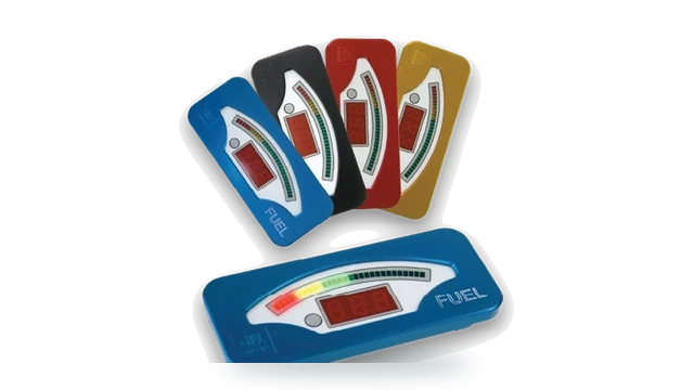
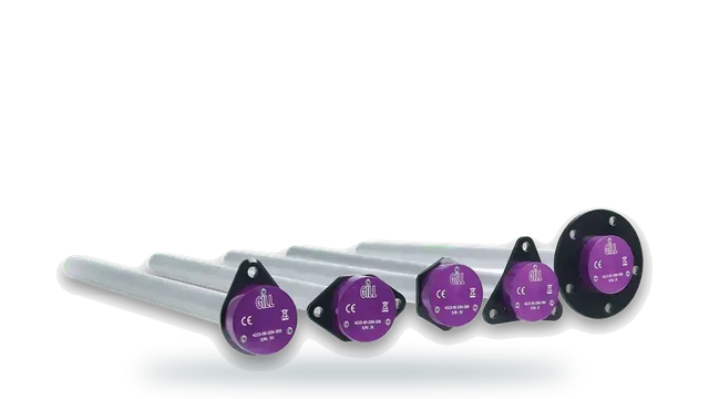
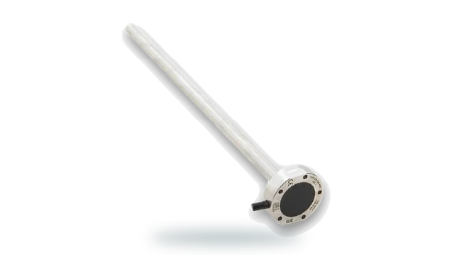
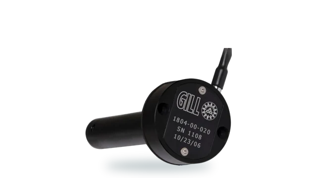
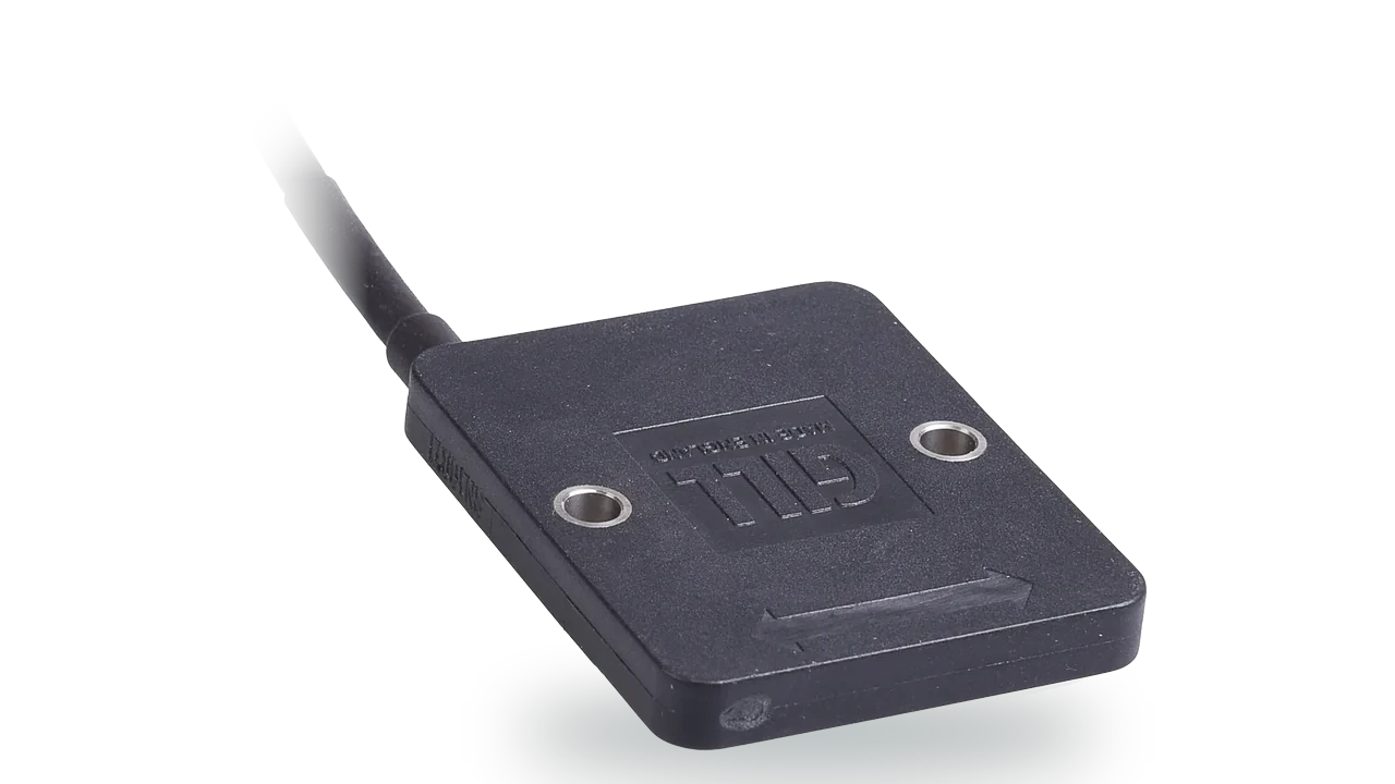
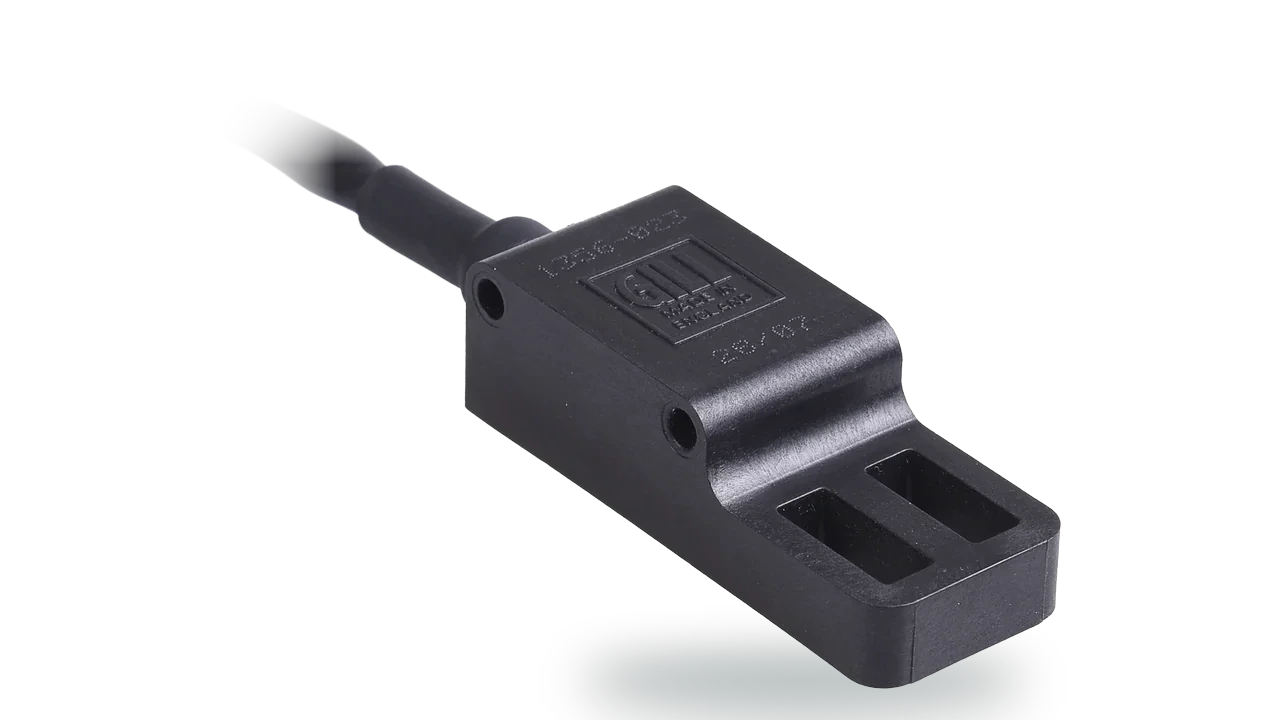
Service vans and site vehicles run on fuel that is easy to lose track of. A capacitive level sensor reports what is left in the tank with no float to stick, and non-contact position sensors give long-life feedback from pedals, steering and actuators.
Siting, continuity and traceability, in that order
Siting comes first because it cannot be corrected later. Wind at ten metres, temperature and humidity at screen height, and pressure at a known elevation are not arbitrary conventions, they are what makes one site comparable with another.
A station built from separable sensors puts each measurement where the guidance expects it and still returns one record. A compact all-in-one unit is an excellent instrument that answers a different question, because everything in it sits at the same height.
Continuity is an instrument decision. Anything with a rotating sensing element will eventually ice, foul or seize, and the failure is silent because a stopped anemometer reports calm rather than reporting a fault.
Traceability is a process decision. A calibration history is only useful if it is attached to the instrument rather than to the person who arranged it, which argues for a single accredited laboratory covering the whole site.
Height is part of the measurement
A reference site is judged on whether its measurements are comparable, and comparability comes from siting as much as from the instrument. Sensors stacked at one height are measuring one layer of air and reporting several.
MetConnect One and MetConnect THP separate the sensors so each sits at the height its measurement is defined at, and return them as a single station output. That is the architecture reference siting guidance points towards.
Each sensor where the standard puts it
View MetConnectThe instruments already on the site
Long-running sites accumulate instruments. A radiation sensor, a soil probe or a logger bought under an earlier programme is often still the reason the series is comparable, and replacing it would break the record it protects.
MetConnect accepts third-party, analogue and Pt100 inputs, so existing instruments continue into the same station rather than into a parallel system that somebody has to reconcile every year.
One station, one continuous series
Compare weather stationsA reference series is used decades later
The point of a long-term site is that somebody reads it after everyone involved in building it has moved on. What they will ask is which instrument, sited where, calibrated when, and traceable to what.
That makes calibration a design decision rather than an operational one. An instrument supplied with traceable calibration, kept on an interval and recorded against the series, keeps the record defensible without depending on institutional memory.
Labcal is an independent UKAS-accredited laboratory operating to ISO/IEC 17025:2017, calibrating equipment from any manufacturer across six parameters, which keeps a site carrying instruments from several suppliers on one schedule.
What a reference site carries
Separable stations for the reported parameters, ultrasonic wind measurement for continuity, and one accredited calibration schedule behind all of it.
Station architecture
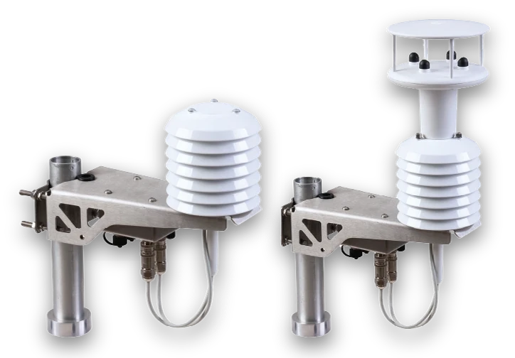
MetConnect
Separable sensors for WMO-compliant siting
Sensors separated by height for WMO-compliant siting, with third-party, analogue and Pt100 inputs bringing existing instruments into the same record.
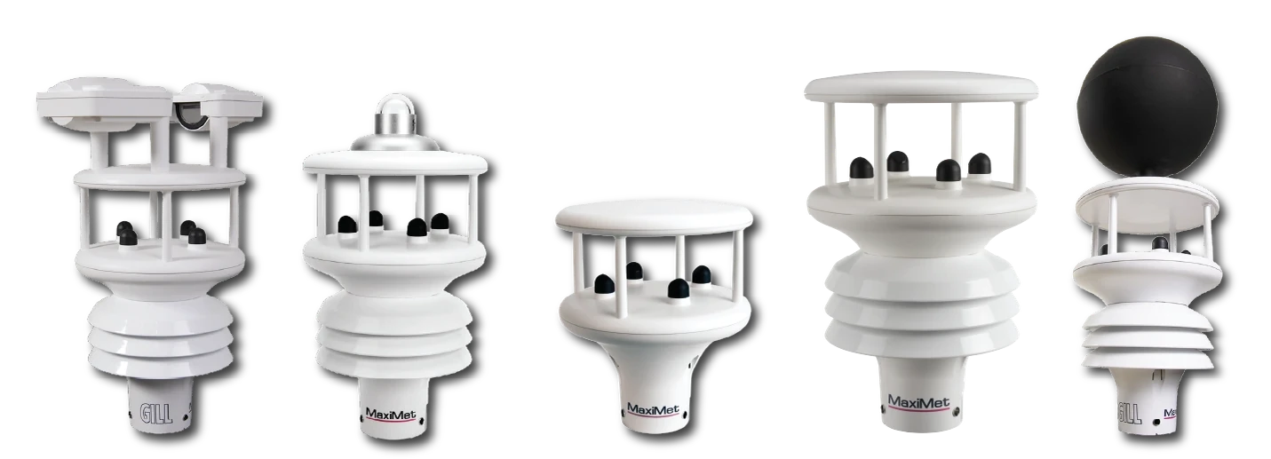
MaxiMet
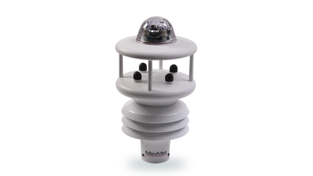
All-in-one weather station, no moving parts
One unit and one cable for the network positions around a reference site, where a full separable installation is not justified.
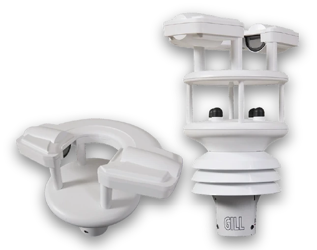
TruMet PW100
Infrared optical rain gauge
Optical rainfall measurement with no tipping mechanism to block, which removes a common source of gaps in a long series.
Wind measurement
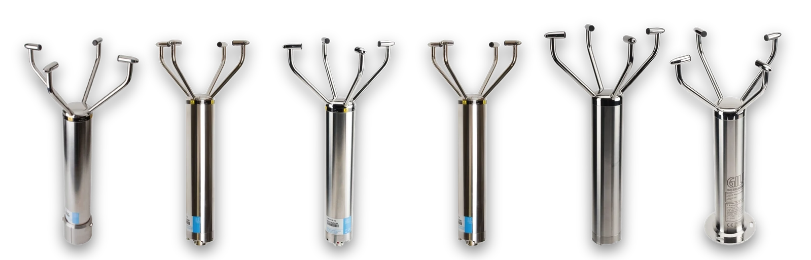
WindObserver
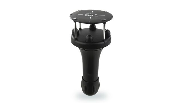
Heated 316 stainless open-head 2-axis anemometer
Heated 316 stainless for sites where the winters that matter most to the record are the ones that stop a mechanical sensor.
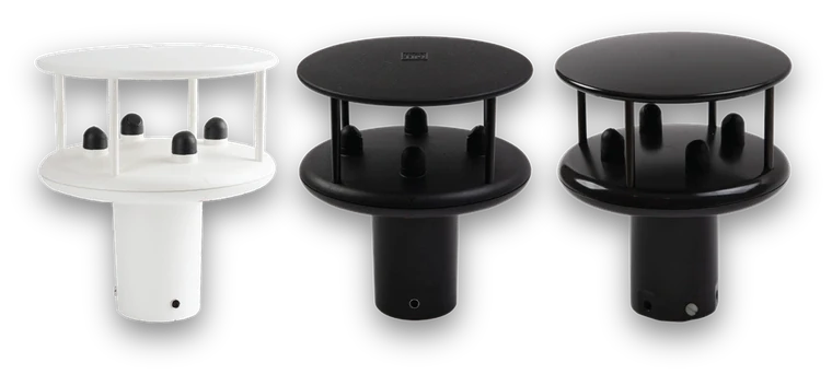
WindSonic
Lightweight 2-axis ultrasonic anemometer
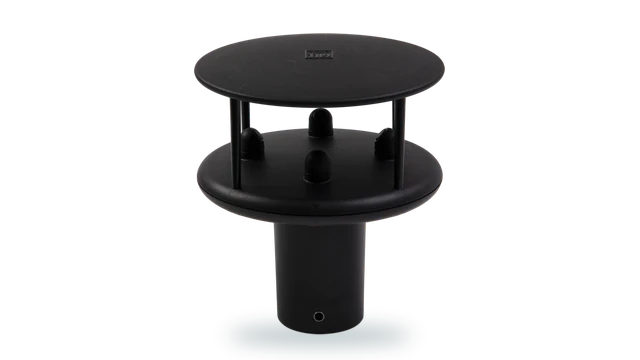
Lightweight ultrasonic measurement for the ten-metre mast, with heated options for cold sites.
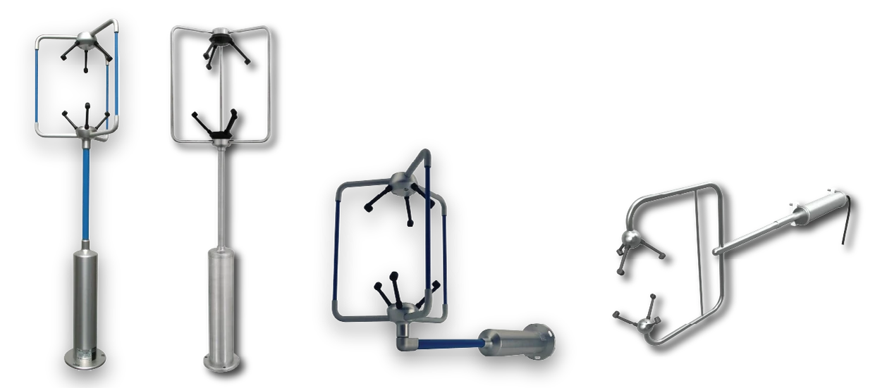
WindMaster
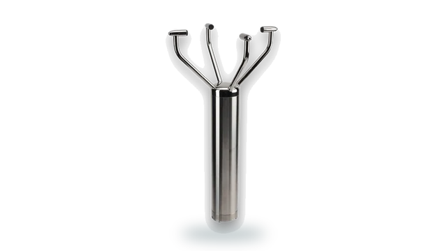
3-axis ultrasonic anemometer
Three-axis measurement where the site supports turbulence or flux work alongside the reference record.
Where reference measurement does the work
Comparable sites
Stations built to the same architecture so that measurements from different locations mean the same thing.
Long-term series
Sites whose value is the length of the record rather than the precision of any one reading.
Decadal records
Installations expected to outlast the people who commissioned them and the systems that first logged them.
Teaching and research
Sites carrying a mixture of instruments from different projects, all needing one coherent record.
Regulatory reference
Measurement used to judge other measurement, where traceability is the whole point.
Protecting the series
Replacing a station without stepping the record, by carrying existing instruments into the new one.
UKAS-accredited calibration for six measurement parameters
Labcal is an independent UKAS-accredited calibration laboratory, Lab 0625, operating to ISO/IEC 17025:2017. It provides calibration across gas and air flow, air velocity, liquid flow, pressure, temperature and humidity.
For a reference site carrying anemometers, Pitot tubes, thermal probes, pressure instruments, thermometers, temperature and humidity probes and data loggers, one accredited laboratory keeps the whole installation on a single traceable schedule.
Gas meters · Mass flow controllers · Dispensing systems
Anemometers · Pitot tubes · Thermal probes
Flow meters and sensors · Process control equipment
Gauges · Transducers · Manometers · Transmitters
Thermometers · Probes · Thermocouples · Data loggers
Hygrometers · Probes · Transmitters
Getting a continuous series off the site
A reference record has to arrive complete, consistently formatted and consistently time-stamped, from a site that may have no mains power and no routine visit.
Gill supports environmental monitoring, industrial sensing, embedded electronics and systems integration, so agencies, institutes and network operators can bring measurement into loggers, telemetry and long-term archives.
Whether the requirement is SDI-12 into a low-power logger, Modbus into a network, or analogue and Pt100 channels carrying existing instruments, Gill engineers can support integration from specification through commissioning.
Outputs and options
- Modbus RTU : Site systems and SCADA
- SDI-12 & serial : Loggers and remote telemetry
- 4-20 mA & 0-10 V : Existing analogue channels
- Traceable calibration : So the record holds up on review
What the specification looks like in practice
Sited the way the guidance expects
Separable sensors mounted at the heights each measurement is defined at, which is what makes a site comparable.
Existing instruments carried forward
Third-party, analogue and Pt100 inputs keep the instruments that make the series comparable inside the same station.
Nothing rotates, so nothing seizes
Ultrasonic measurement removes the silent failure where a stopped anemometer reports calm and quietly biases a decade of data.
Built for the winters that matter
Heated variants keep the record continuous through the conditions most likely to create a gap.
One traceable schedule
Independent UKAS-accredited calibration across six parameters, for equipment from any manufacturer.
Made in the UK since 1985
Instruments designed and manufactured in Lymington, with the engineering team reachable when a site is being specified.
Questions about reference and long-term monitoring
Because the measurements are defined at different heights. Wind at ten metres, temperature and humidity at screen height, and pressure at a known elevation are what make one site comparable with another.
A station that stacks the sensors into one housing measures at one height and reports as though it were several.
Yes. MetConnect accepts third-party, analogue and Pt100 inputs, so a radiation sensor, soil probe or other instrument that makes the series comparable can continue into the new station.
Usually gaps and steps rather than accuracy. A sensor that ices and reports calm creates a gap that is not obvious, and a replacement instrument of a different type creates a step in the series.
It attaches the record to something independent rather than to institutional memory. An instrument on a traceable interval, recorded against the series, stays defensible after everyone involved has moved on.
For network nodes and supporting positions, often yes. For the reference measurement itself the separable architecture is usually the relevant one, because everything in a compact unit sits at the same height.
Yes. Labcal is an independent UKAS-accredited calibration laboratory, Lab 0625, operating to ISO/IEC 17025:2017, calibrating equipment from any manufacturer across gas and air flow, air velocity, liquid flow, pressure, temperature and humidity.
Speak to our team
Tell us what you need to measure, where and under what conditions. We'll help you work out the appropriate approach.
We aim to respond in one working day.